
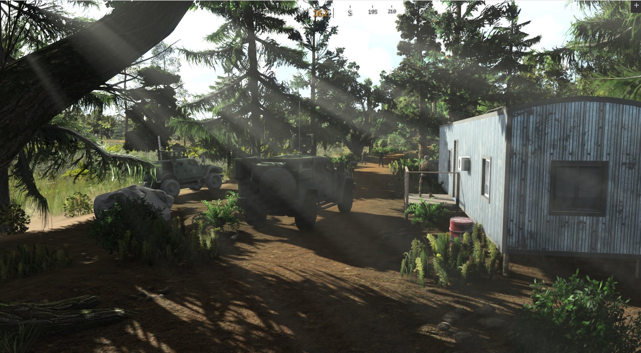
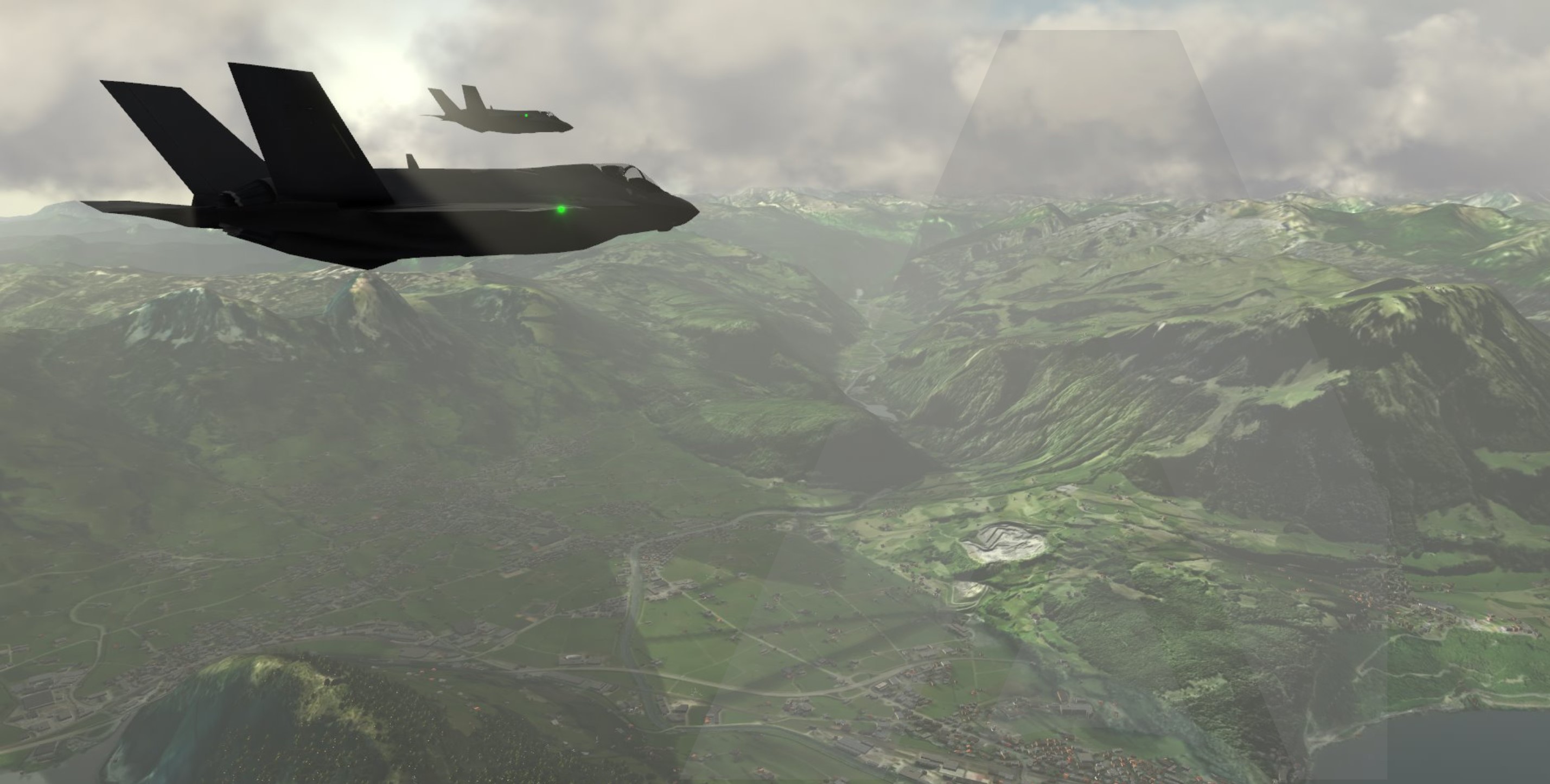
Beautiful Realistic Synthetic Environments
At the core of MAK’s terrain ecosystem is MAK Earth, a powerful procedural terrain engine that is shared across all MAK ONE simulation and visualization applications. When paired with MAK’s OGC-compliant streaming terrain server, VR-TheWorld, delivers a scalable, whole-Earth digital twin for training and simulation based on world-wide GIS data. MAK ONE’s flexible terrain approach allows users to mix and match procedurally generated, paged, and site-specific terrain models—all within a single, integrated solution.

MAK’s Approach to Terrain: Flexibility, Fidelity, and Interoperability
Terrain is the foundation of any Synthetic Environment simulation, and MAK ONE applications provide a beautiful realistic Synthetic Environment are designed to work with the terrain you have or to help you build the terrain you need. Our customers typically fall into one of two groups: those who have a terrain database to load, and those who don’t but need a place on which to simulate. Which group are you in?
For those who need terrain...
If you don’t have an existing terrain database, you have several options:
MAK Earth Procedural Terrain Generation
MAK’s recommended approach for those who need a terrain database of a specific place is to procedurally generate it with the MAK Earth Terrain Engine within MAK ONE applications (VR-Forces, VR-Vantage, and VR-Engage). Geographic Information System (GIS) data can be read locally from disk or served from an instance of VR-TheWorld.
The extent and resolution of data you use and the styling choices you make will define your terrain. Start with the configuration provided by MAK ONE and add data or tweak styling to make a terrain that suits your training, experimentation, or wargaming objectives.
- Elevation --> Terrain Contour (shape of the land)
- Imagery --> Terrain Texture (color of the land)
- Vector Features --> Culture Models (roads, buildings, utilities, etc.)
- Land Cover --> Procedural Vegetation (see Vegetation in the MAK Earth Terrain Engine)
- Open Street Maps (OSM) --> styled raster maps
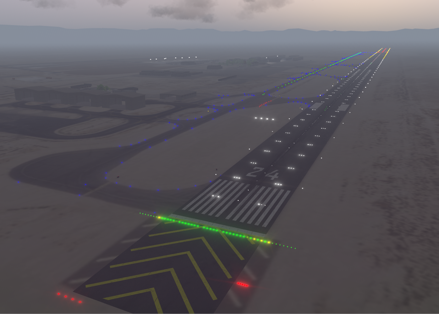
- Aerodrome Data --> Airports
Terrain from VR-The World
VR-TheWorld comes with all the geographic information (GIS data) needed for all the “online” terrain configurations shipped with MAK ONE applications. You can host your own copy of MAK's Streaming Terrain, VR-TheWorld on your premises. In addition to the data provided by MAK, you can also source your own data and add it to VR-TheWorld.
 VR-TheWorld
A World of Streaming Terrain
- Terabytes of Elevation, imagery, features, & land use
- Global base-map
- Web interface to add data
- Local server and cloud implementations
- Supports multiple source formats
MAK Earth Terrain Online
MAK ONE Applications also come with several “online” terrain configurations that require a connection to the internet so that they can fetch geographic data from the VR-TheWorld server that MAK hosts publicly. A few examples include:
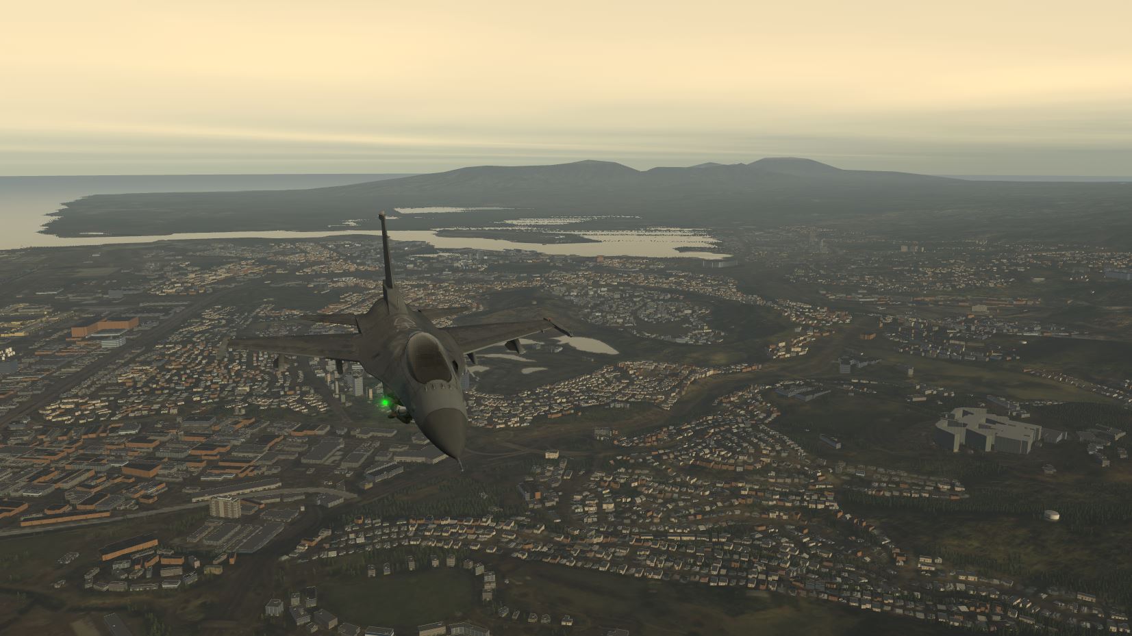
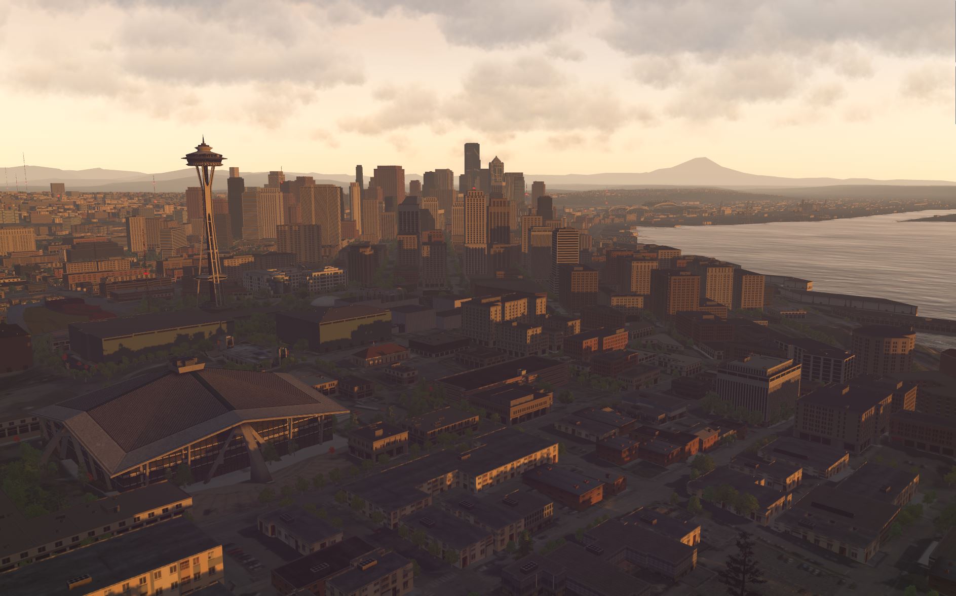
- A whole Earth terrain configuration with high resolution insets for California, Honolulu, Hawaii, and some other cities. Includes streaming feature data from Open Street Maps, and procedurally generated vegetation from global land use classifications.>
- A whole Earth terrain configuration with topographical maps for the area around Bakersfield, California, USA. This terrain contains some feature data that simulation objects in aggregate-level scenarios can take advantage of.
- A whole Earth terrain configuration designed for use in aggregate-level scenarios. When in 2D projection (plan view), you can choose the appearance from the 2D View Layer list. For example, use OSM TOPO for a view that is more like a paper map.
- A high-resolution area of the National Training Center at Fort Irwin in California, U.S.A.
Terrain installed with MAK ONE applications
The easiest path to filling your synthetic environment with terrain is to use one that comes out-of-the-box with MAK ONE applications. A few examples include:
- A high-resolution city center surrounded by an extruded cityscape. Located geographically in Brooklyn, NY, USA, but not an actual location in that city.
- An interior model of an international arrivals hall with passport control stations.
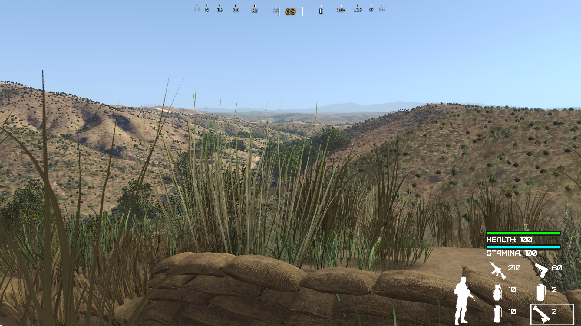
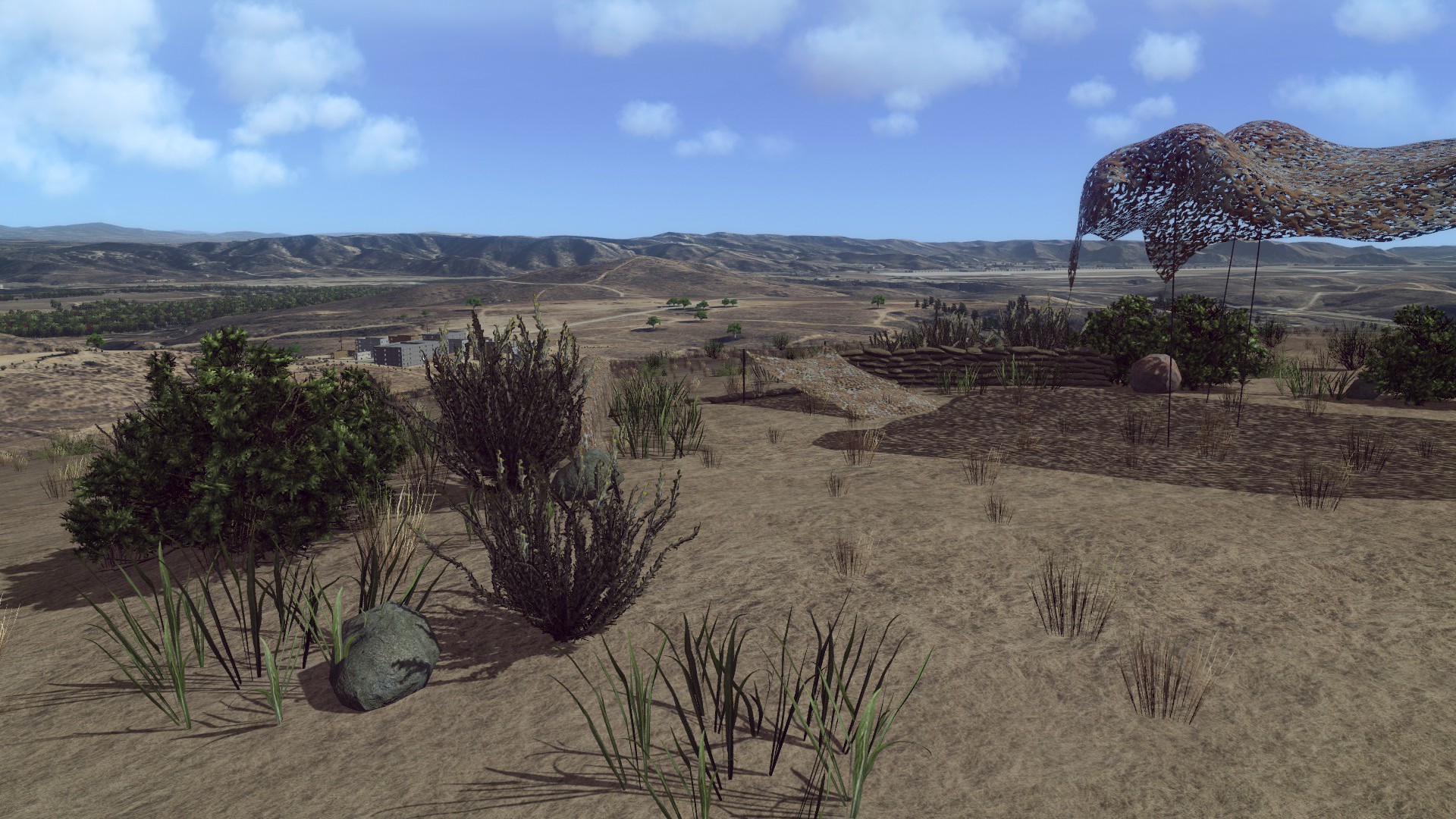
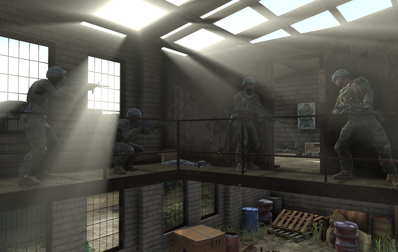
- A fictional database created by MAK. It has a highly detailed small town in a larger, sparsely detailed desert environment. The town includes multilevel buildings, underground tunnels, and a road that tunnels through a mountain.
- A geo-typical Middle Eastern urban site in Sadr City, Iraq, a suburb of Baghdad.
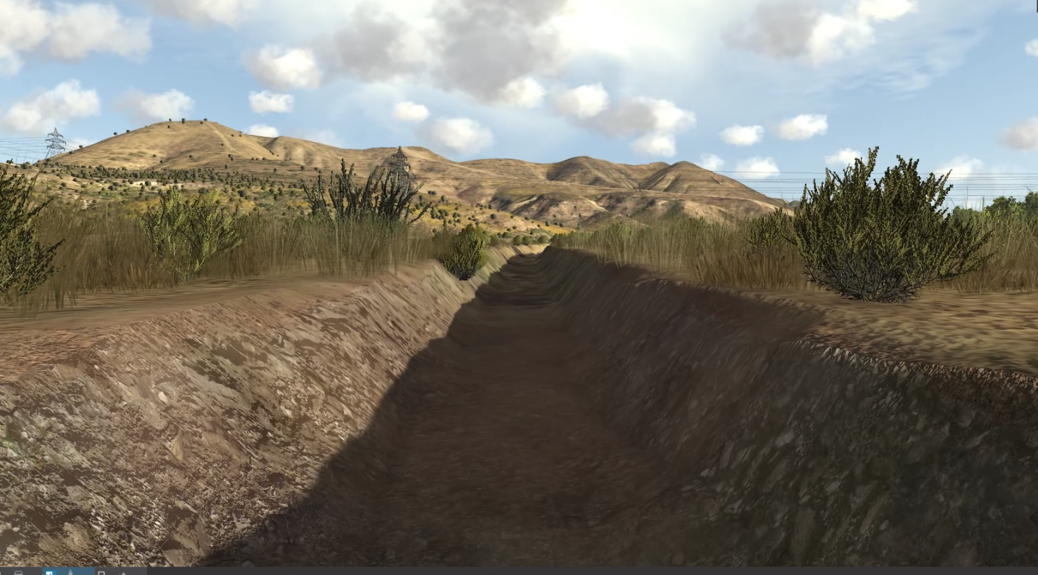
- A proving ground site – a non-realistic terrain with buildings, trees, roads, a runway, different types of soil, slopes, and other environments. It is designed specifically for testing.
A high-resolution area of Honolulu, Hawaii, USA, set into a raster map of the world. This terrain is stored locally and does not require an internet connection.
Build Terrain Offline and Load it
If you have tools to build an offline terrain database you can, of course, use them to build a terrain in one of the formats listed, then load it into a MAK ONE application.
There are pros and cons to every approach. Statically built databases have the benefit that they can be built and rebuilt with powerful modeling tools and hand modeled to refine any specific areas or details that the tools didn’t handle very well. The downside of static databases is that the building process can be very long, particularly for large areas, and the hand modeling is very labor intensive and costly.
For those with an existing terrain database…
You likely want to maximize reuse since terrain databases represent such a significant investment: they cost a lot to generate, they use a large amount of data storage, they take a long time to make, they cover large areas, they may have gone through long validation processes, and there may be other simulators that already use them.
Many of you often ask, "Can MAK ONE load my terrain database?" Usually, the answer is “yes.” (You can stop reading and go back to work now.)
This is where MAK’s support for widely used industry standards such as CDB, OpenFlight, MetaFlight, TerraPage, and FBX ensures compatibility with existing terrain databases.
MAK ONE applications are designed to be terrain-agnostic, supporting a wide range of terrain formats:
Paged Terrain
Large-area terrain databases, structured in tiles, can be dynamically paged into simulations, supporting formats such as CDB and even older formats such as MetaFlight and TerraPage.
Site-Specific Terrain and 3D Model Integration
MAK ONE applications support a variety of 2D and 3D terrain model formats, including:
- Industry-standard 3D model formats (.flt, .obj, .dae, .3ds, .shp)
- Image formats (.tif, .jpg, .png, .bmp, .gif)
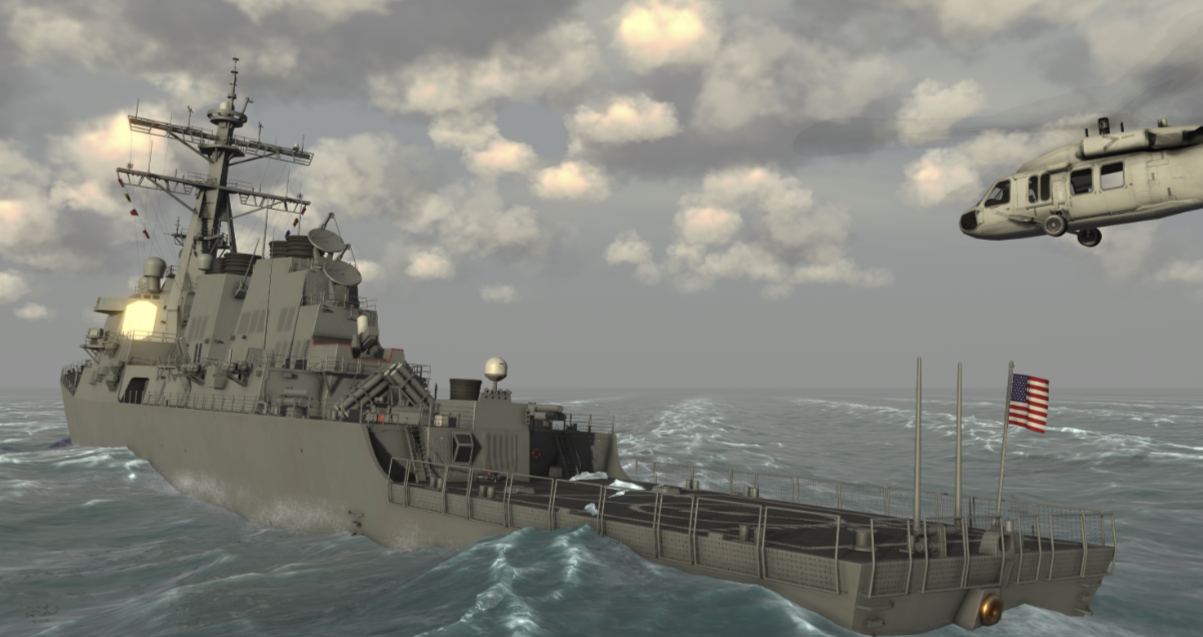
What about Waves and Weather?
In addition to the terrain, MAK ONE applications fill the oceans with dynamic waves and the skies with cloud layers—all defined within your scenario files or supplied by the simulation engine.
Watch: How to Build and Customize Whole World Terrain in MAK ONE
Take a closer look at how to enhance your MAK ONE environment with high-resolution terrain. In this recorded session from our Get Deep with MAK ONE series, terrain expert Brian Spaulding shows how to work with VR-TheWorld and MAK Earth to create custom 3D terrain using your own GIS data.
