 VR-Vantage
MAK ONE Image Generation & Battlefield Visualization
Deliver realistic, high-performance visualization across a whole-earth, multi-domain synthetic environment.
VR-Vantage delivers high-fidelity, real-time 3D visualization for training, experimentation, mission rehearsal, and analysis across the MAK ONE synthetic environment.
Deploy from desktop and monitor-based training stations to multi-channel cockpits, immersive displays, and virtual or mixed reality systems.
VR-Vantage provides a consistent representation of terrain, weather, entities, sensors, and operational data across MAK ONE applications and connected simulation systems.
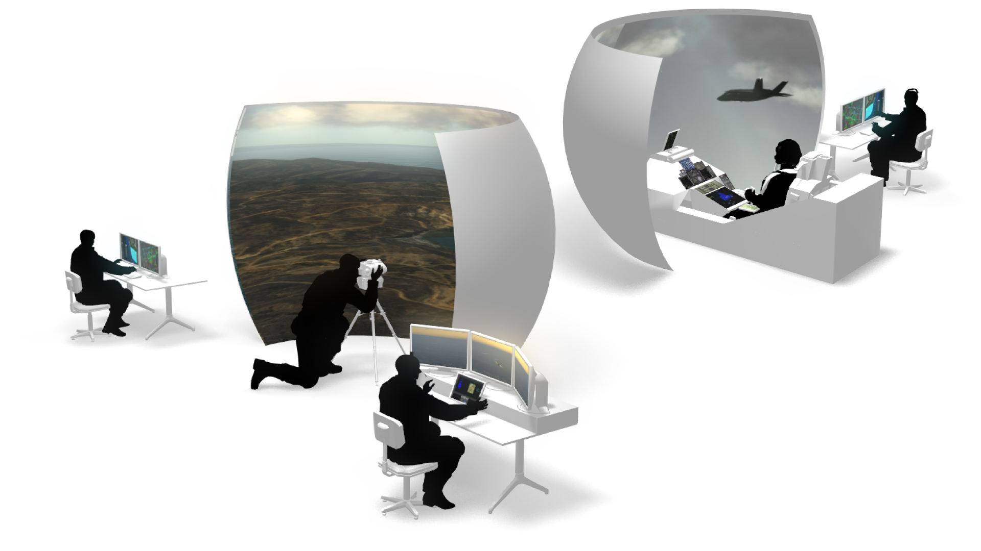
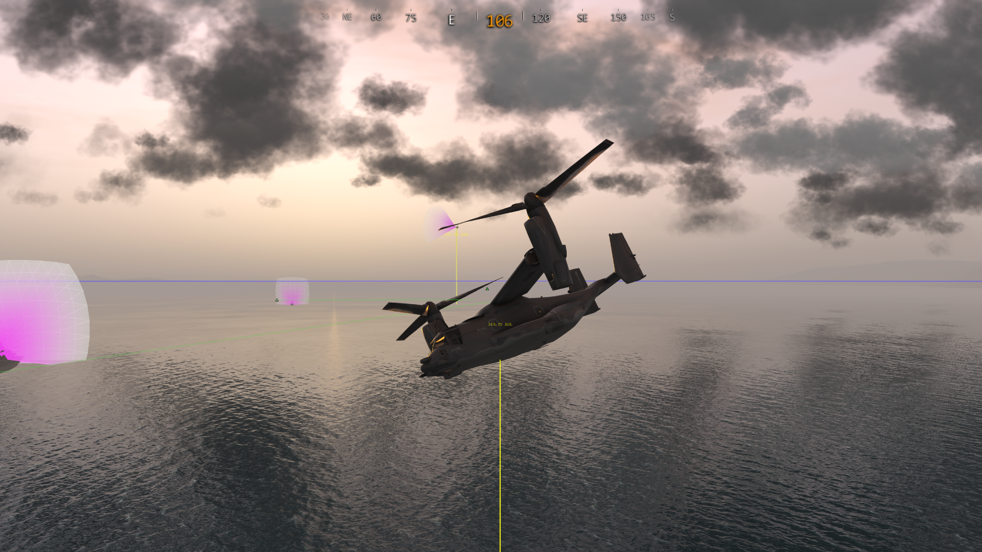
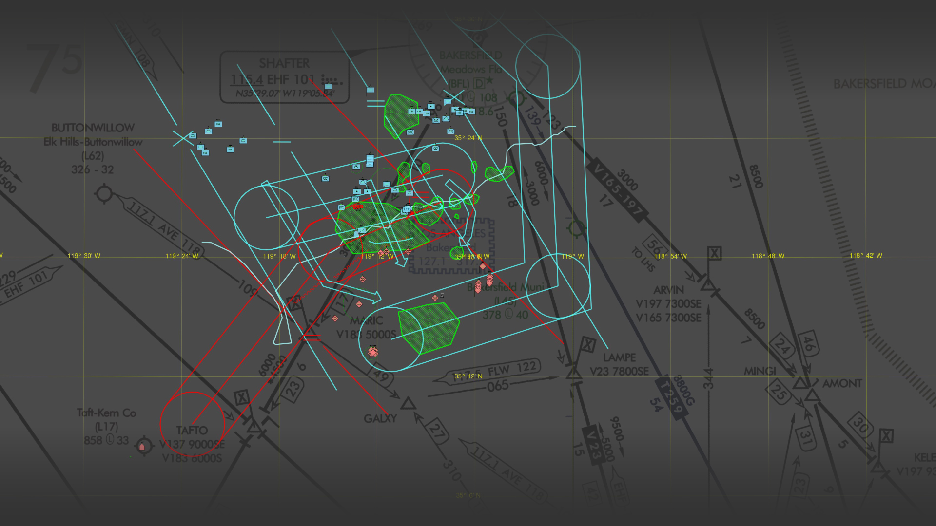

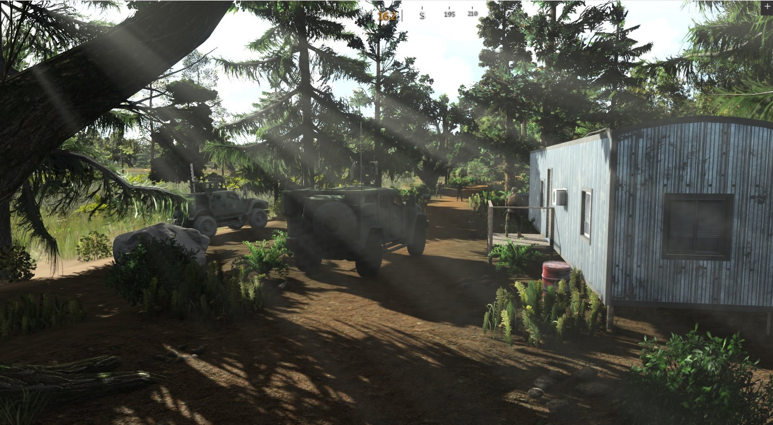
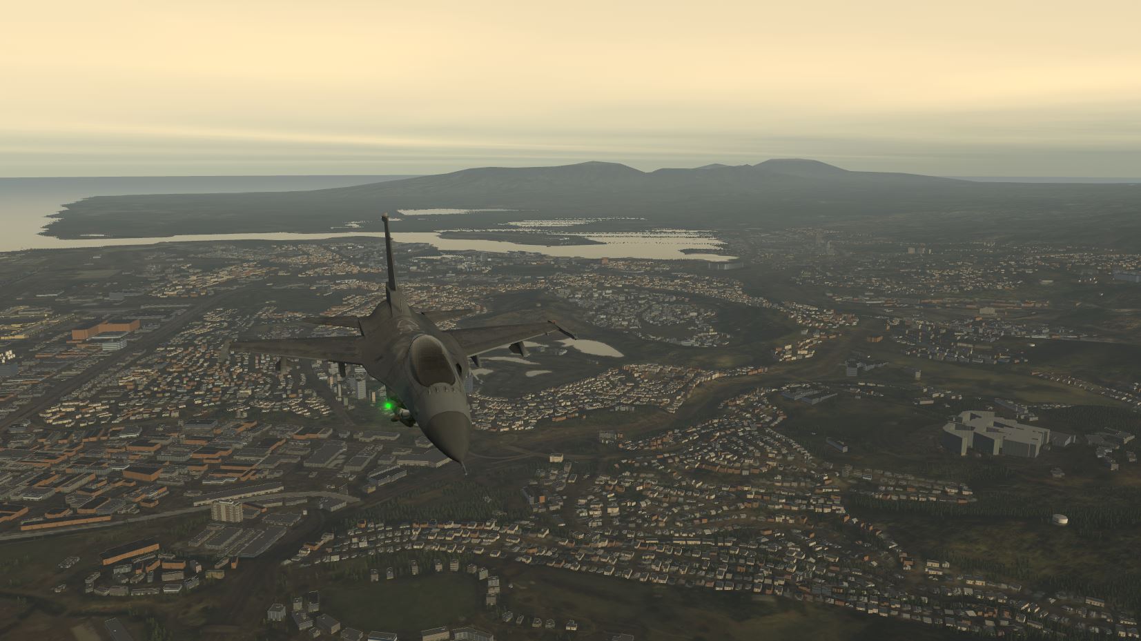
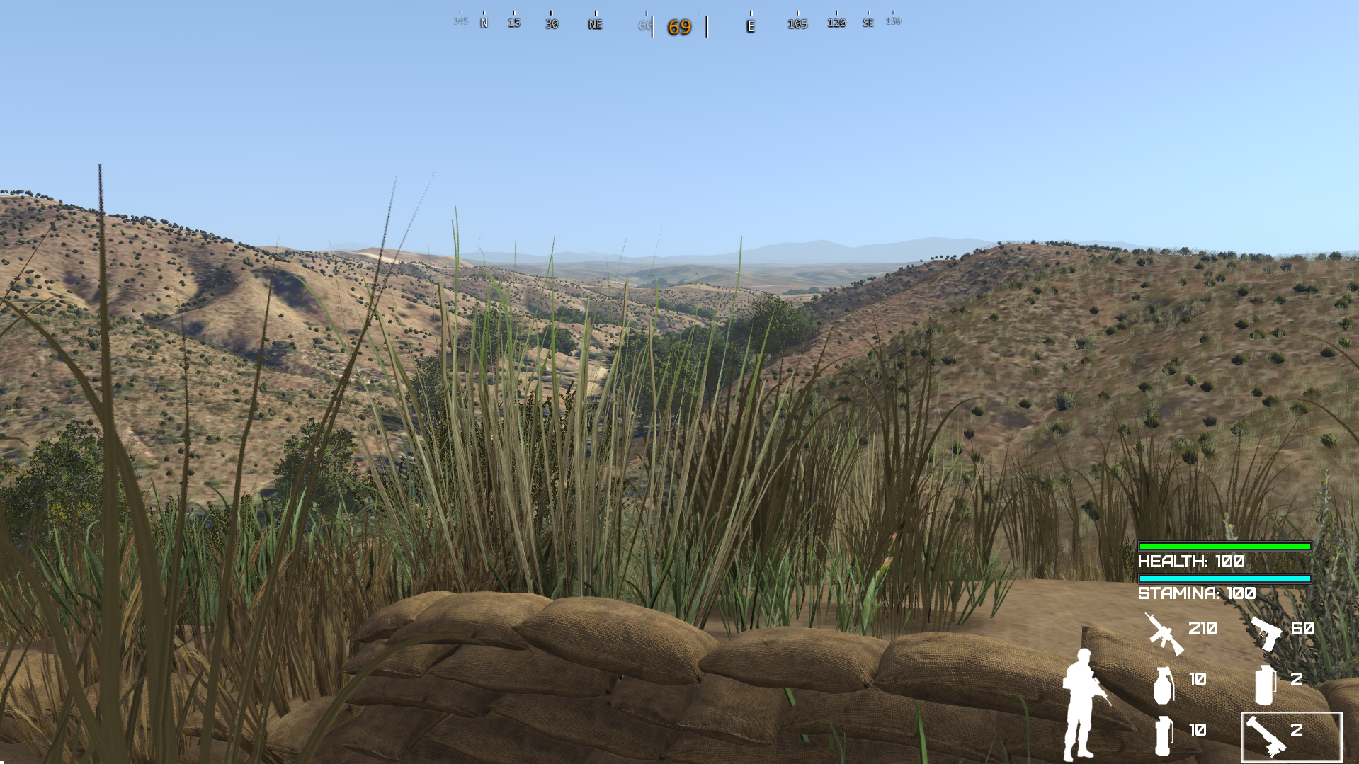
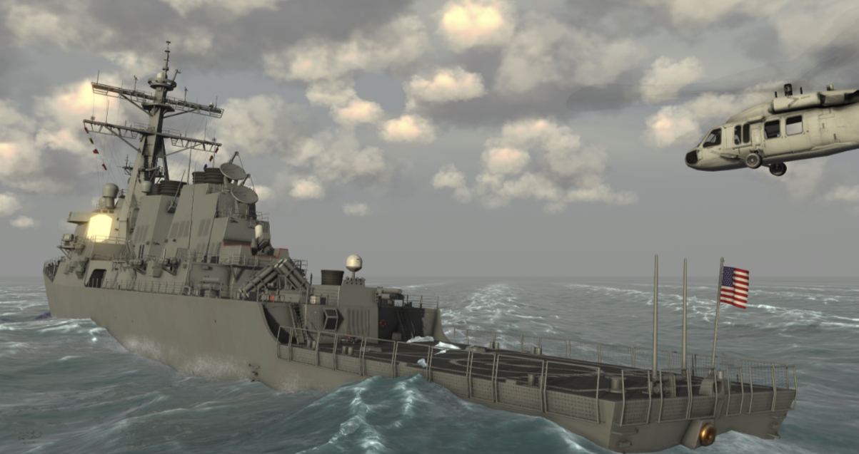
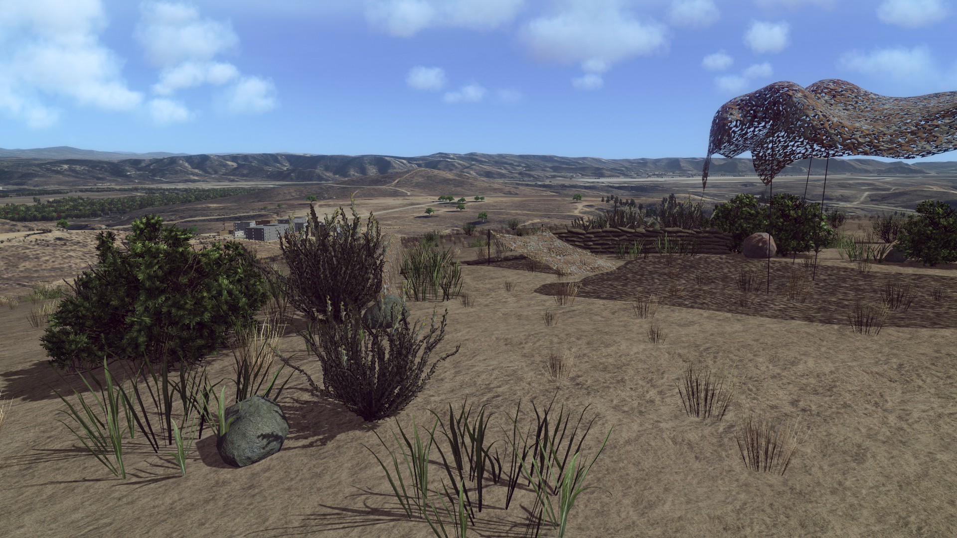
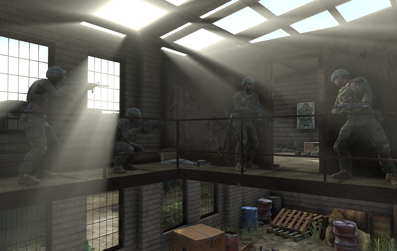
MAK ONE is the simulation platform of choice by governments and system integrators around the world as they join disparate simulations into common synthetic environments.
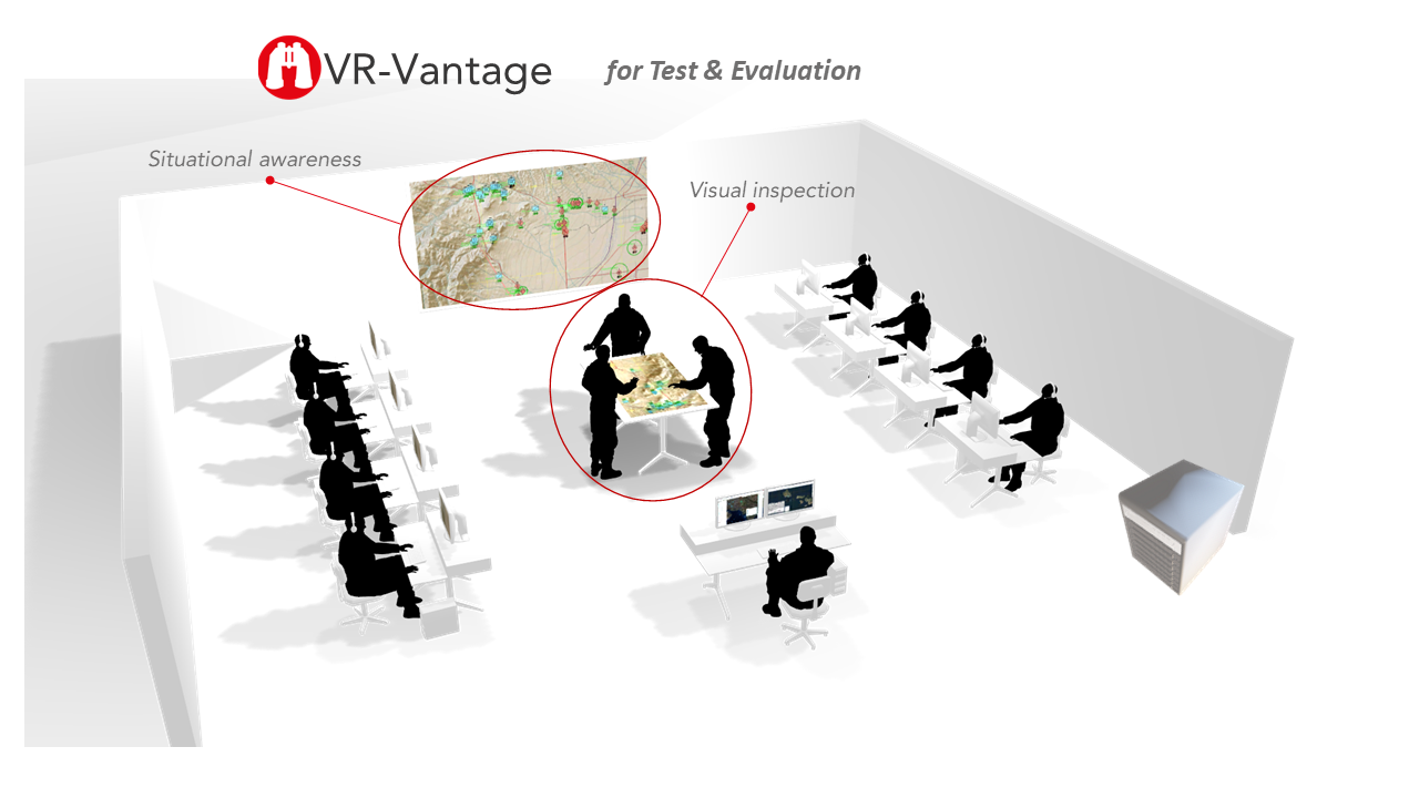
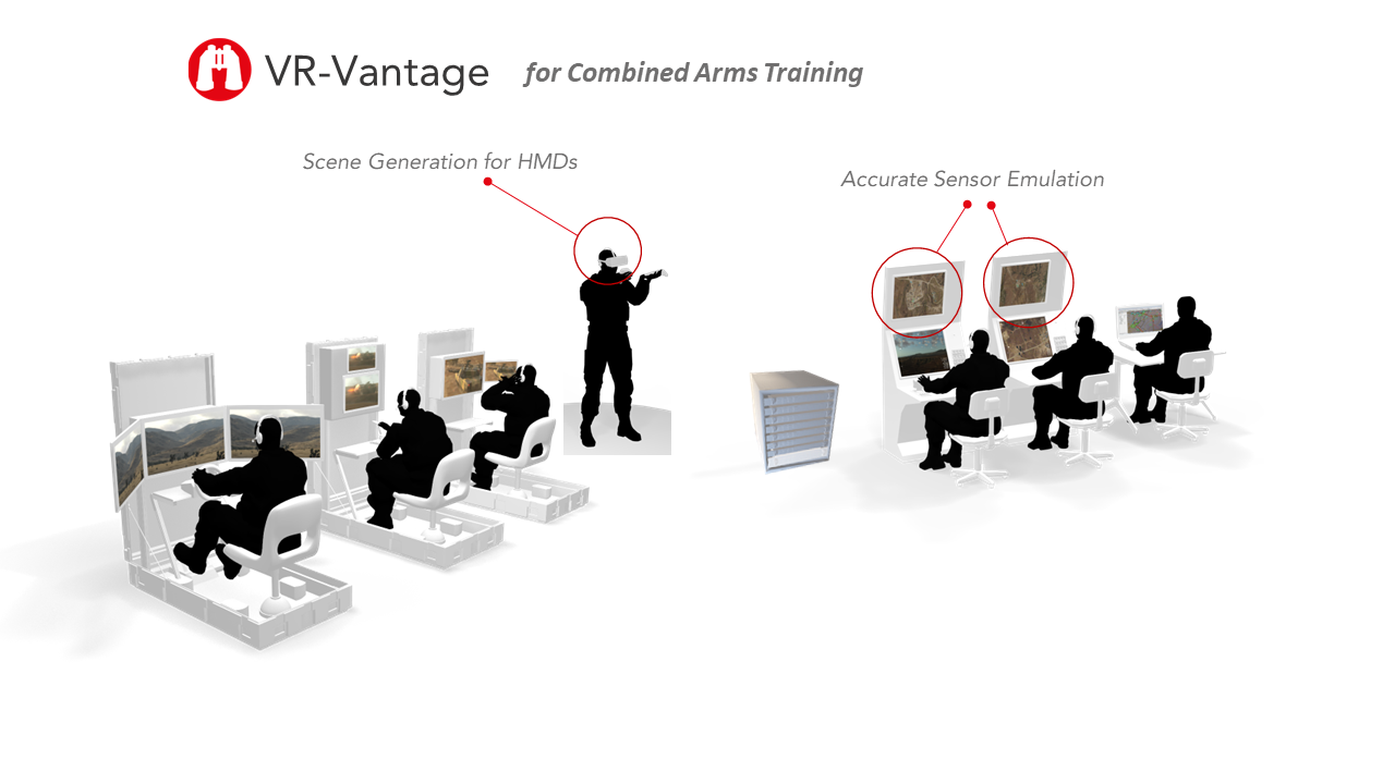
Explore how VR-Vantage fits into these systems by sliding through the illustrations below.
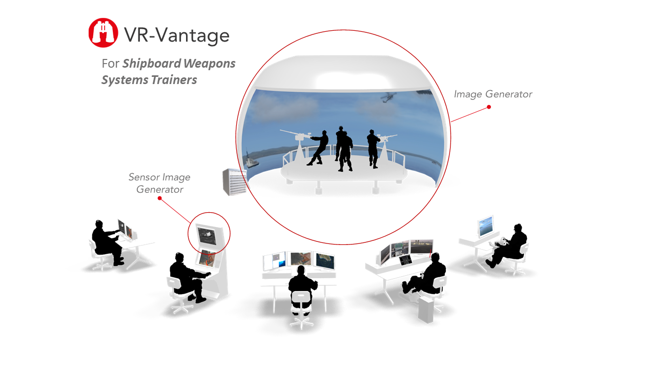
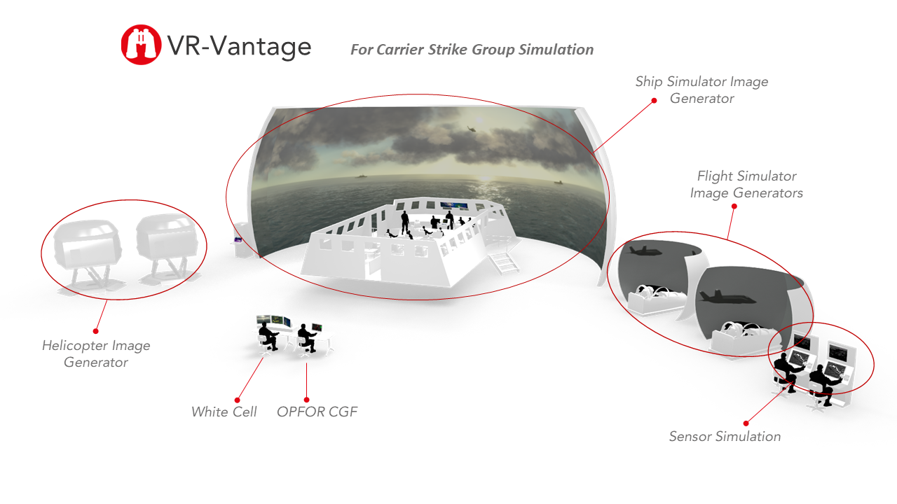
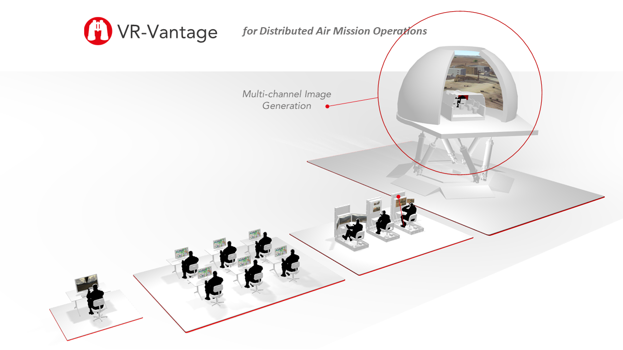


Key Features
High-Fidelity Real-Time Visualization
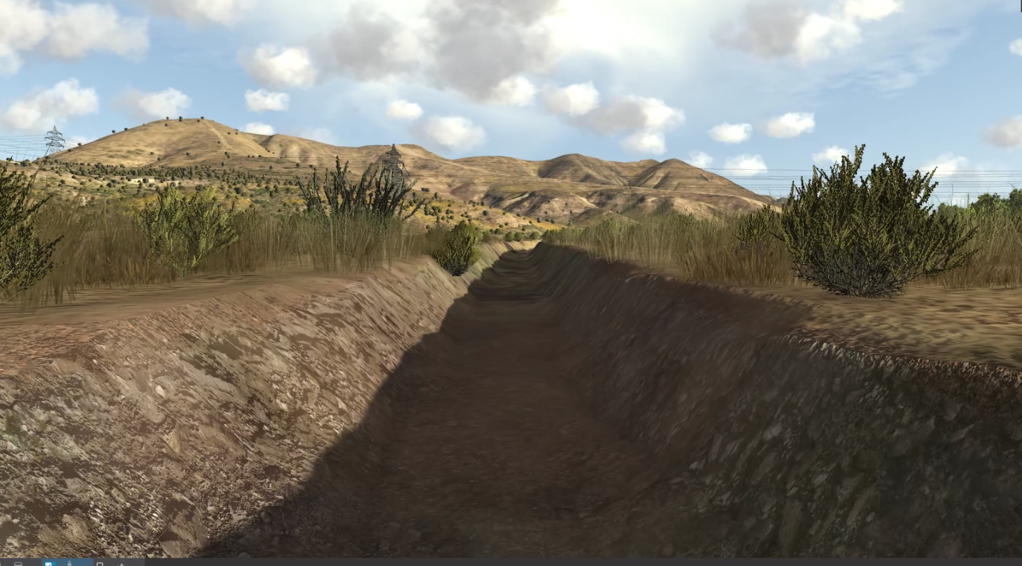
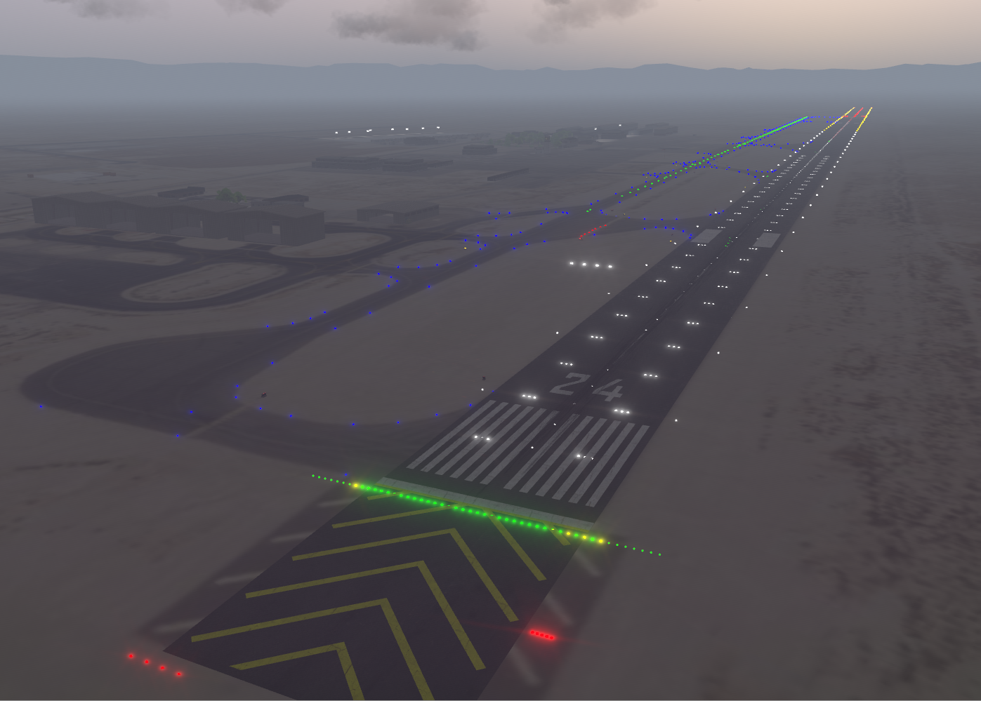
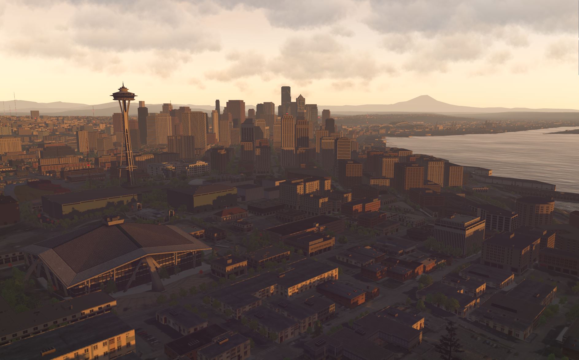
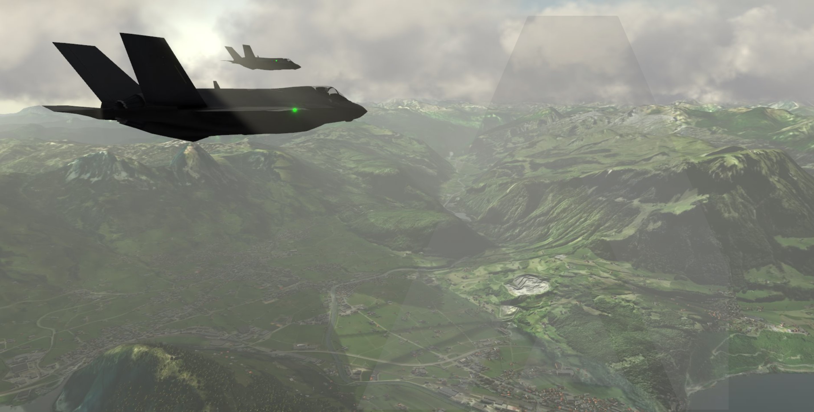
Render realistic terrain, weather, entities, sensors, and effects across the whole-earth MAK ONE synthetic environment.
Scalable Multi-Channel Displays
Deploy synchronized views across desktop stations, cockpits, command centers, immersive displays, and domes.
Procedural Terrain Generation
Generate detailed, mission-ready terrain and features at runtime to support operations anywhere in the world.
Terrain Agility
Load, stream, and combine existing, procedural, and mission-specific terrain without rebuilding the visual environment.
Dynamic Particle Effects
Visualize smoke, fire, dust, explosions, wakes, contrails, and other environmental and weapon effects in real time.
Ephemeris-Based Environment
Accurately model sun, moon, stars, lighting, shadows, and time-of-day conditions for any location and date.
High Dynamic Range Rendering
Deliver realistic contrast, lighting, and color across bright daylight, low-light, and night operations.
High-Performance Human-View Rendering
Sustain smooth frame rates, long view distances, dense scenes, and low-latency response for realistic human-in-the-loop visualization.
Open Simulator and Network Interfaces
Connect to simulation hosts through CIGI and participate in DIS- or HLA-based distributed environments.
Immersive and Extended Reality
Support virtual reality, mixed reality, and augmented reality systems using COTS or mission-specific hardware.
Configurable Operational Overlays
Present mission data, entity status, sensor information, and user-defined symbology directly within the 3D scene.
Networked Tactical Graphics
Display shared routes, waypoints, boundaries, areas, and other tactical graphics generated by VR-Forces or connected systems.
Multi-View Mission Awareness
Use picture-in-picture and inset views to monitor multiple platforms, sensors, and areas of operation simultaneously.
Flexible Simulated Cameras
Place and control viewpoints anywhere in the world to observe operations from platform, sensor, instructor, or exercise-control perspectives.
Integrated 2D and 3D Views
Combine map-based situational awareness with immersive 3D visualization for navigation, command, observation, and analysis.