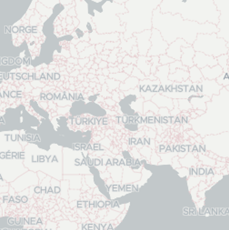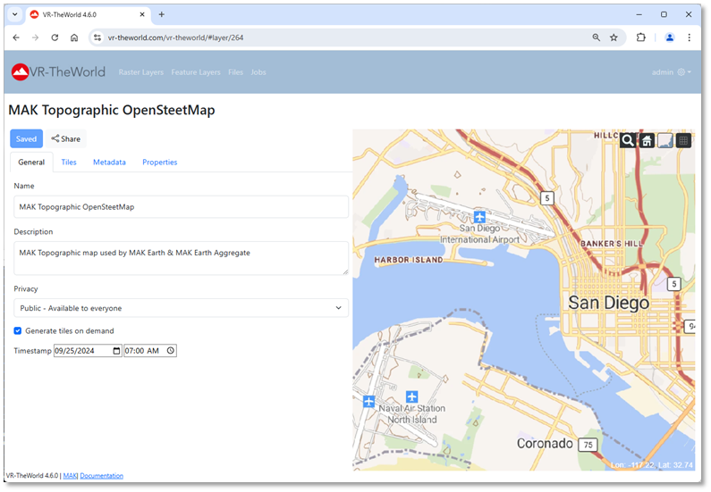
Did you hear? VR-TheWorld Supports Tactical Maps!
We'll focus on two important additions to VR-TheWorld in this article:
1. An embedded tile server, OpenStreetMap data in OpenMapTiles format, and sample MapBox GL styles that you can use in Raster layers.
2. Global data additions to support the VR-Forces Aggregate-Level simulation scenarios.
Tile Server
The biggest new feature is the inclusion of an embedded tile server as part of VR-TheWorld. The tile server enables vector tiles data to be rendered using a variety of styles that define which features are rendered, at which levels, and how they are to be drawn. VR-TheWorld includes an OpenStreetMap dataset in the OpenMapTiles schema that can be used as a data source. VR-TheWorld comes with several sample styles, which can be used directly or modified to create custom styles. The sample styles include:
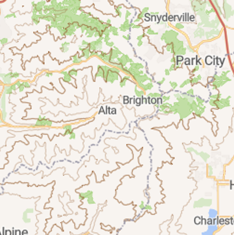
MAK Topographic Style – a MAK-derived style that include OpenStreetMap data and 25m contour lines.
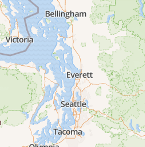
OSM Bright Style – an open-source style using OpenStreetMap data.
|
Styles are defined in JSON format, so can be edited using any text editor. There are also several online or open-source style editors that could be used. For example, you could use the MapLibre Maputnik editor.
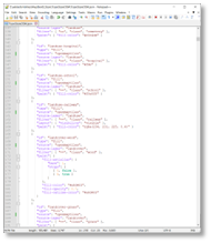 Figure 1: MAK Topographic Style in a text editor (Notepad++)
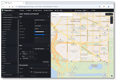
Figure 2: OSM Brite Style in Maputnik editor
Styles reference fonts and icon sets are also included on the VR-TheWorld server.
Rendered datasets can be used as an XYZ tile imagery service source for Raster layers. Like any other Raster layer, they can be pre-tiled or generated on-demand. MAK ONE applications can access the layer as a TMSImage data source. You can see an example of the MAK Topographic OpenStreetMap layer as a 2D Map View used in MAK Earth (online) or the MAK Earth Aggregate (online) terrains with the latest release of the VR-Vantage, VR-Forces, or VR-Engage.
VR-Forces Aggregate-Level Simulation Scenarios
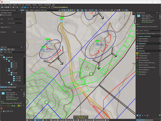
VR-TheWorld also has new data to support global VR-Forces aggregate-level scenarios. There have been sample scenarios in previous versions of VR-Forces. However, the scenarios have used datasets specifically configured for their AOIs and could not support scenarios outside that specific area. VR-Forces 5.1.1 now includes a new MAK Earth Aggregate (online) terrain, specifically configured to include data to support aggregate-level scenarios anywhere on the globe. Much of the data comes directly from the OpenStreetMap MBTiles datasets, which have been updated to an OCT 2024 version. The new terrain configures the data to support the aggregate movement and sensor models. In addition, there are new datasets that take elevation and slope into account to support the movement model. These include Hills, Mountain, Alpine, and Shallow Water areas, also provided as global MBTiles datasets.
With the new global data to support aggregate-level simulation and global topographic maps, which are more typical for aggregate-level views, VR-TheWorld further enhances the ability for VR-Forces to create scenarios anywhere in the world.
But wait, there's more!
Those aren't the only updates: from the new MB Tile Offline Capability, the new Sentinel-2 data set, and the new user interface, we are constantly adding more into VR-TheWorld. To learn all about what VR-TheWorld can do, connect with us at
Join the MAK ONE 2025 Webinar: Tuesday, September 16
Get a first look at what’s coming in the MAK ONE 2025 release, launching later this summer. Register for the live webinar on Tuesday, September 16—choose the time that works best for you: 10:30am and 9:00pm ET. Can’t attend live? No problem. All registrants will receive a recording.
