Offline but Not Off the Map: MBTiles Export in VR-TheWorld
By Tim Collins, North America Sales
Most MAK customers know that VR-TheWorld Server streams terrain data into your simulation with impressive efficiency, delivering raster data like elevation and imagery, along with feature data like roads, buildings, and trees. However, not all customers can support an online system architecture connected to the Internet.
Furthermore, for specific training applications like gunnery trainers or driver trainers, there is often a defined area of interest, and when it comes to deployment, there is a premium on practical integration and quick-to-deploy design. While in some use cases it is fantastic and necessary that VR-TheWorld comes pre-loaded with over four terabytes of elevation, land use, and feature data for the whole world, you likely do not need all of it for your specific application. Four terabytes is a lot! That is enough to store roughly 250 copies of the Lord of the Rings Extended Edition in HD or this blog post 150 million times.
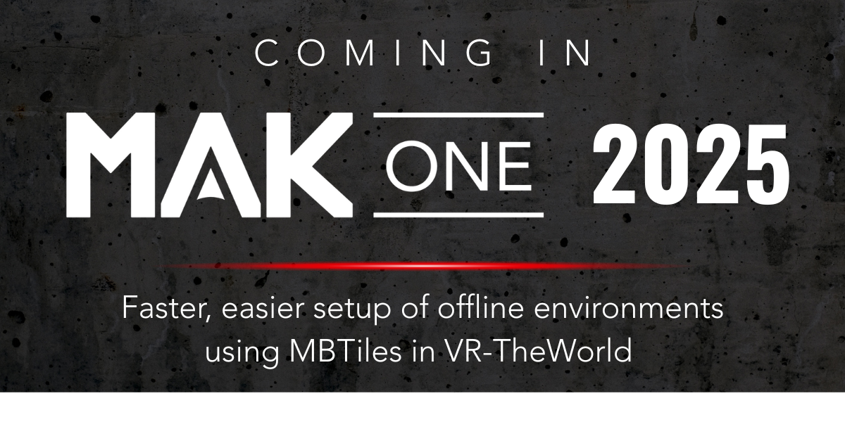
Whether for an offsite demo or a field test beyond the comfort zone of reliable network access, the challenge of deploying high quality terrain offline has always been a hurdle in the training and simulation industry. This is why I am excited, genuinely excited and not just salesperson-excited, to share that as part of the MAK ONE 2025 release, VR-TheWorld supports export to MBTiles format for raster data, giving users a new and efficient avenue for terrain deployment.
Using the VR-TheWorld user interface, you can now select the specific imagery and elevation layers you need and draw a box around exactly where in the world you want to export a subset as an MBTiles file. Once exported, you can point a MAK ONE application to the offline MBTiles file using a .earth configuration file, which means you do not need your deployed system to connect to a terrain server. It is worth noting that this export feature is just for raster data at the moment, so if your use case depends on features like shapefiles, you will still need to copy and crop those manually. But for many of our users, this capability answers a persistent need with surprising simplicity and opens new workflows for simulation and visualization.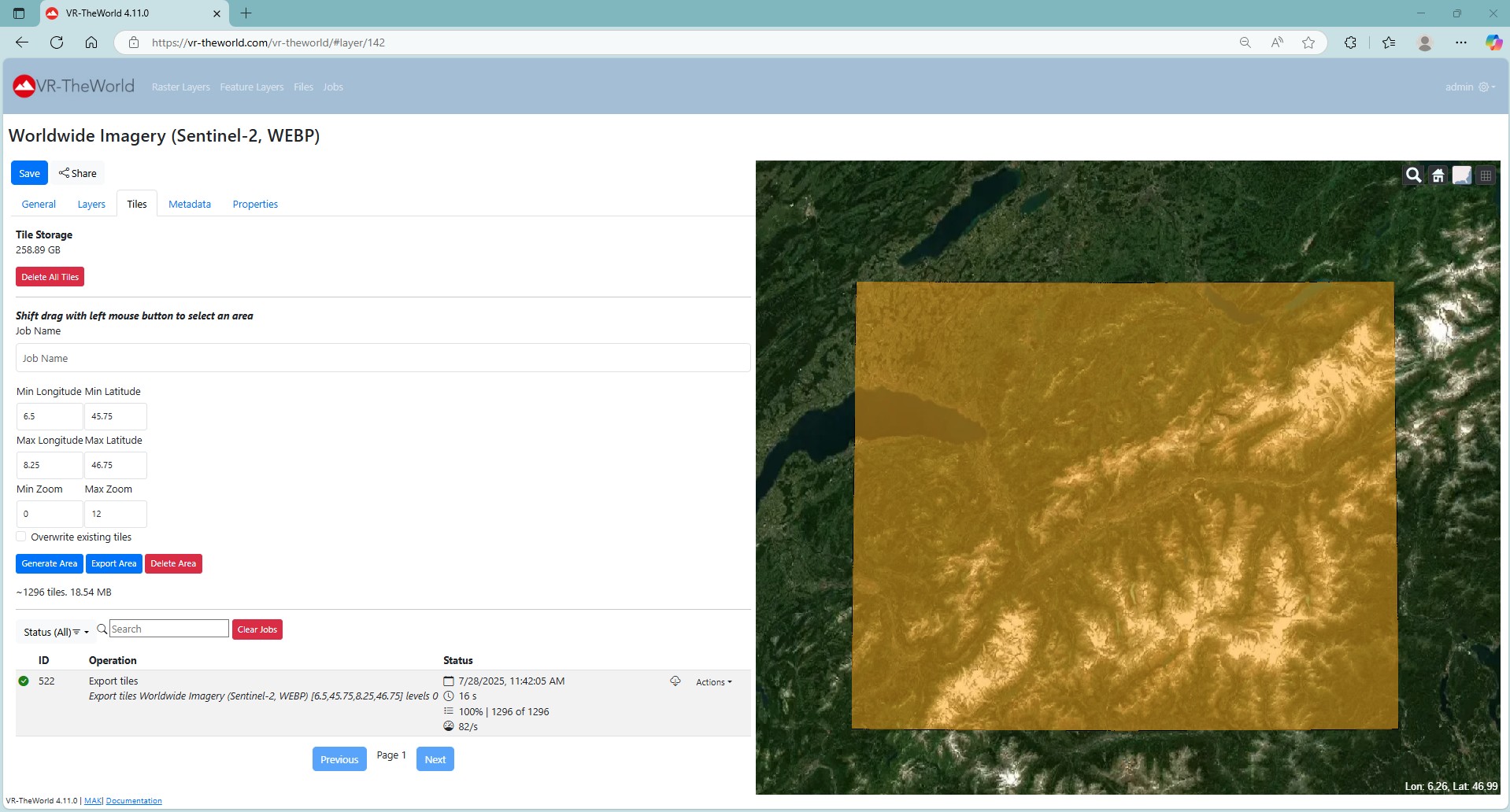
If this capability interests you, we are happy to talk in more detail about your specific terrain deployment needs. At the time of writing this, we have already deployed this solution to a few satisfied customers. By the time you read this, we will have deployed it to a few more.
Hungry for more?
Learn more about this and the rest of what's included in the MAK ONE 2025 release at our recent webinar "A First Look at What's Coming in MAK ONE" with Jim Kogler!